
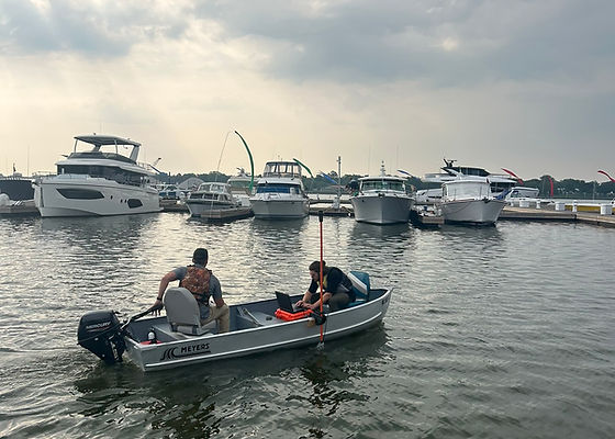
Hydrographic Surveying
Dredge Projects
As Michigan continues to experience record highs and lows of water elevation, the need to accurately define the bathymetry of our lake bottoms and riverbeds is more important than ever. Dredging permits are becoming more common in order for landowners and public entities to maintain safe water depths for recreational and commercial use. We can use the data collected during a survey in conjunction with GIS software to show the location of the dredging and calculate the proposed volume of dredge spoils. This data is vital when applying to EGLE and the Corps for permits.
Marine Construction
The data collected through hydrographic surveying can assist contractors and homeowners when designing various marine projects. We can use hydrographic survey data to allows us to make informed decisions concerning dock and boat hoist dimensions and placement, as an example. This will save you time and money when applying for permits and moving on to complete your project.
Do you need our services? Message us today.